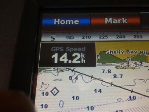
Cambria is currently in the capable hands of Skipper Ian Ruffles and Mates Denis Johnson and Ryan Dale (who is also one of ‘our’ Shipwrights) and is out on 4 short charters with the Rotary Club sponsored young carers. Ryan posted this photo of the GPS navigation kit recording a GPS speed (speed over the ground, i.e. including any help from the tide flow) of 14.2 knots which is fair pasting along. Ryan tells us they peaked at 15.9 knots not long after this shot was taken. You can see from the screen map that they are off Shelly Bay which is an industrial oil-terminal ‘inlet’ (a man made bay) on the north shore of the Thames estuary between Stanford-le-Hope and Coryton. Tricia Gurnett adds that this is “the end where Shell Haven was” so possibly explains the name. These speeds mean the sails must we well stretched and set up beautifully and the rigging tuned to perfection after the Summer spent at the hands of Richard Tichener and the Sea Change team and then more recently by the current crew. The hull will also be nicely scraped and smooth, free from barnacles after her visits to the blocks at Pin Mill. Well done and Thank you to all of you. We’ve got us a fast barge!
